West Virginia Welcomes You + The Eastern Divide
Dolly Sods Wilderness Area, WV • 2026-08-24
I knew today was going to be a long one, and indeed it was. I didn’t sleep great last night, for the reasons outlined in the previous post but also one more: at about 2 AM it started to rain, and I hadn’t bothered to put my rain fly up. When I checked the forecast the odds looked low, and so I took the lazy option, but I do not think I will be repeating this mistake.
I was a bit too tired to get going immediately, so I sat in the Y for a bit while I charged my power bank some more and let the tent dry a little outside. I headed into town for breakfast, then got going at about 8, which is earlier than I’ve been averaging but later than I wanted.
I’m starting to follow the Eastern Divide Trail today, and today’s segment of the route is long (over 60 miles), doesn’t have any good places along the way to stay the night, and ends with an extremely aggressive climb up a mountain.
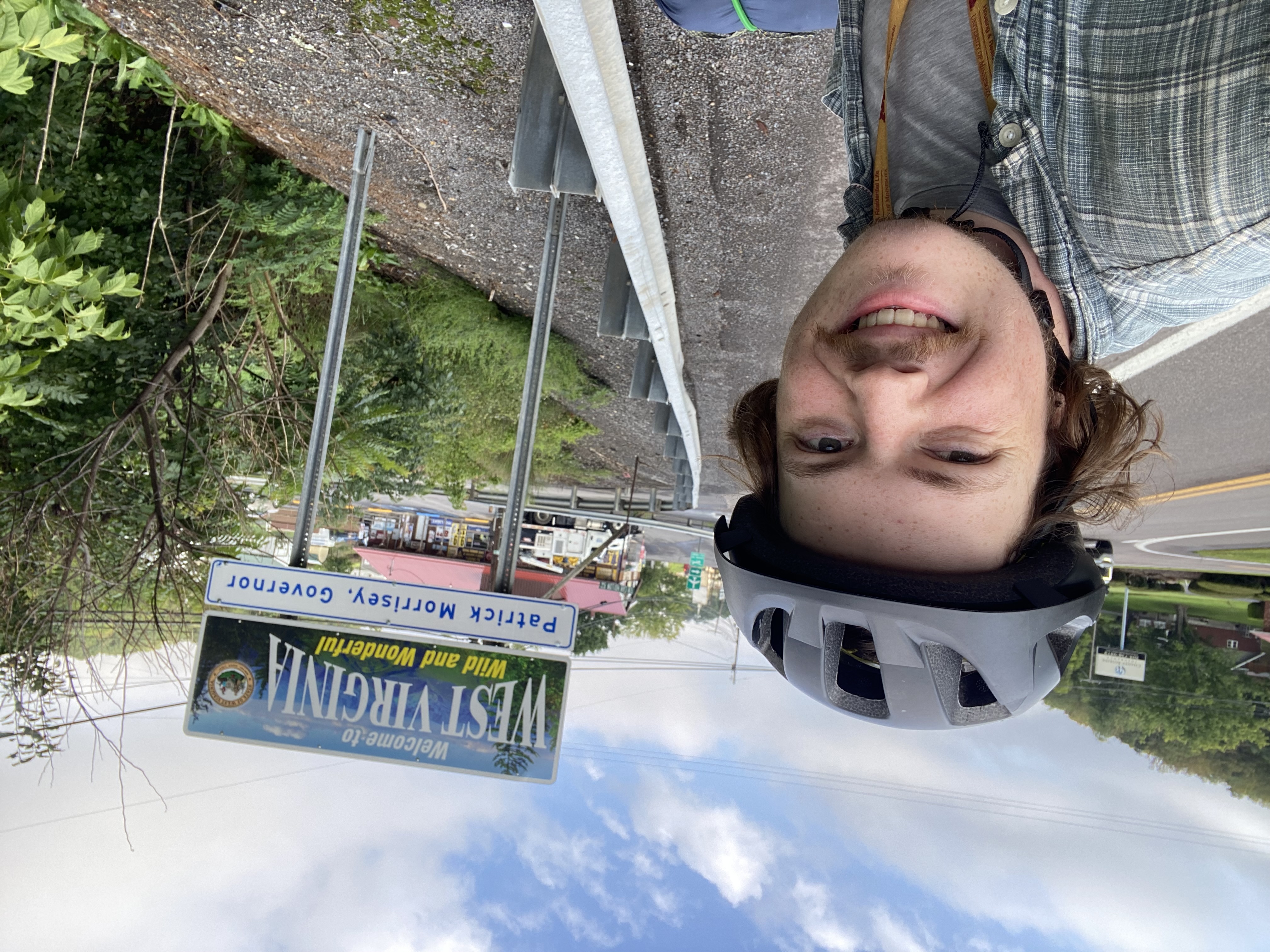
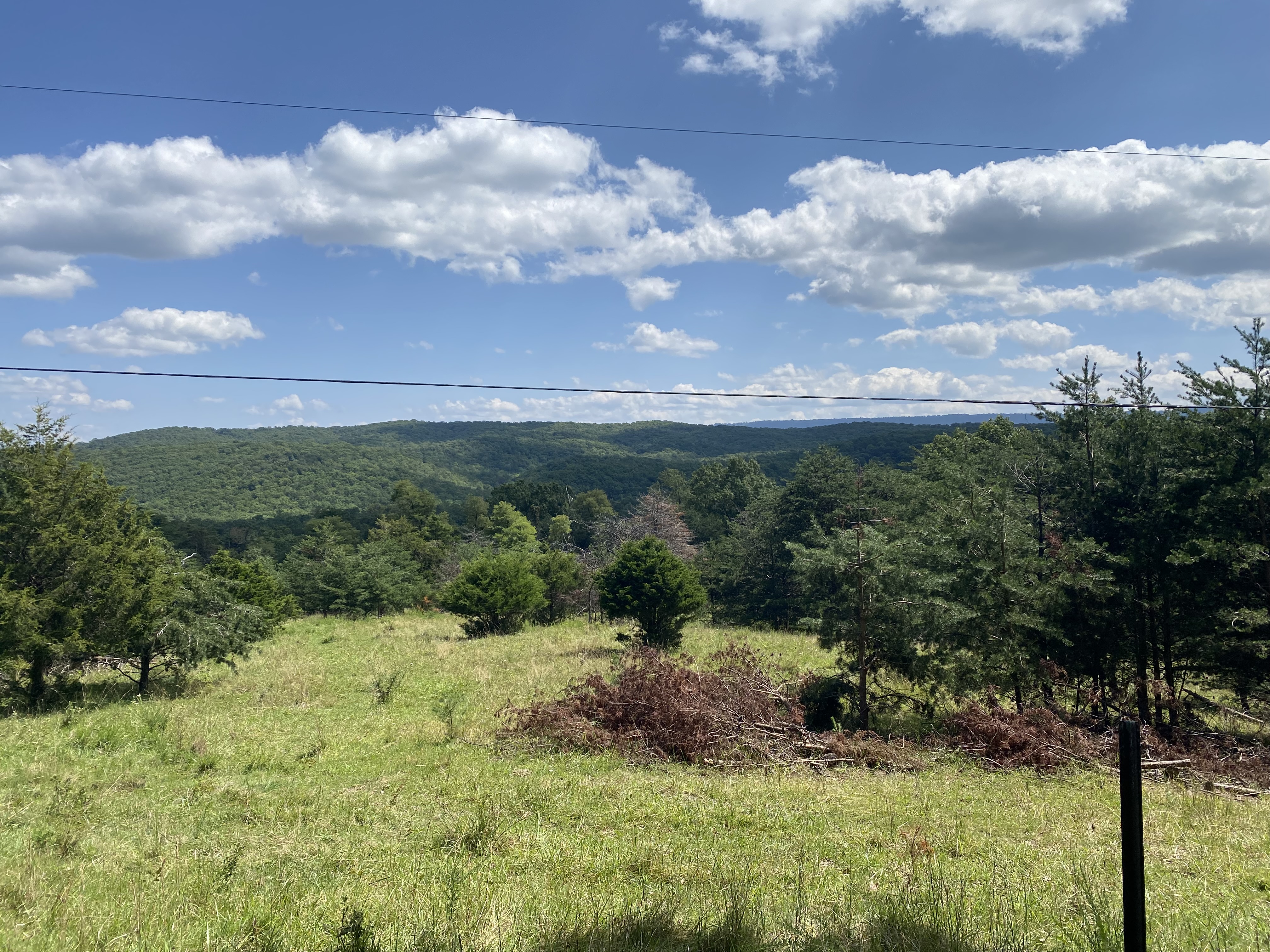
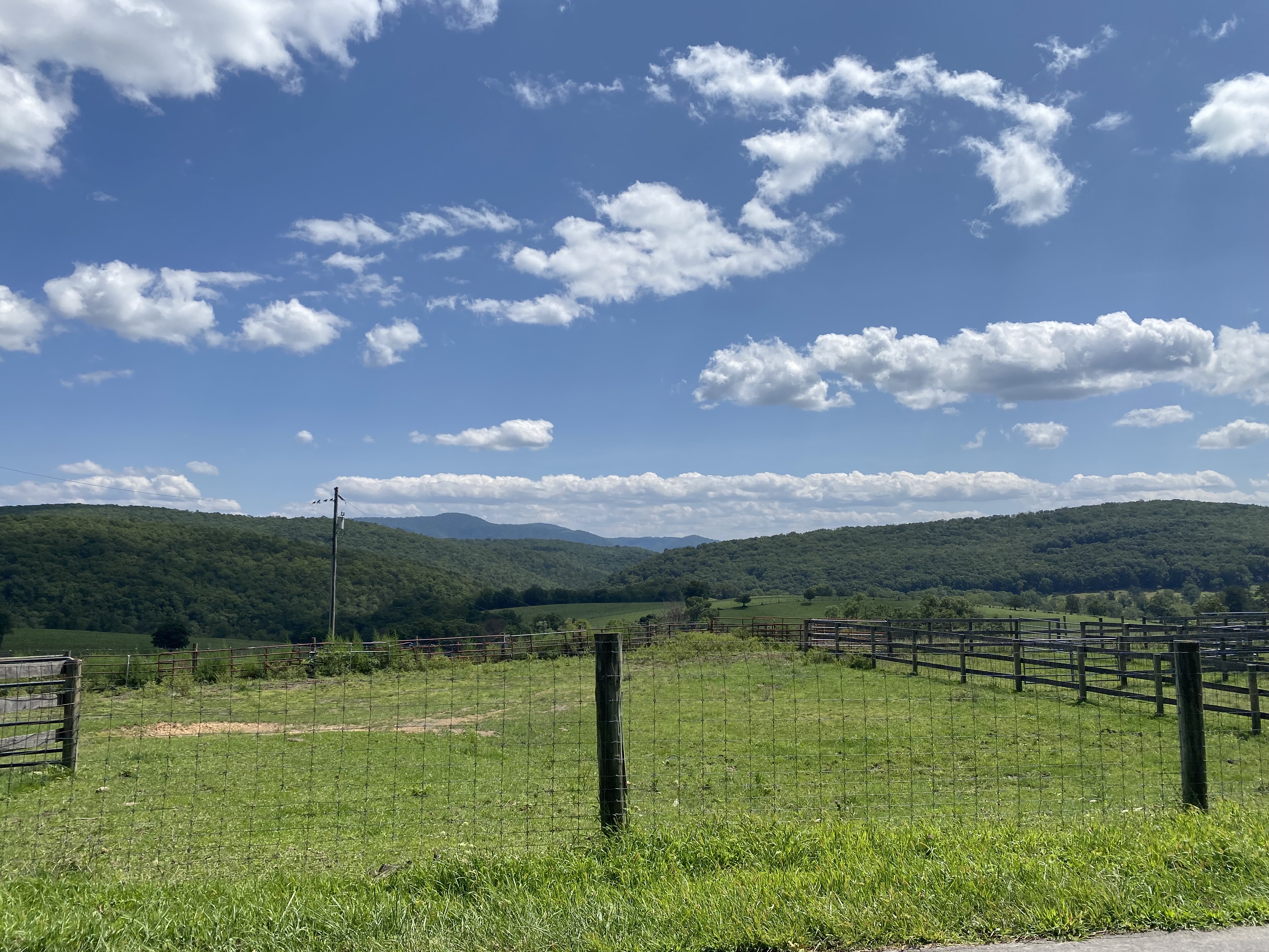
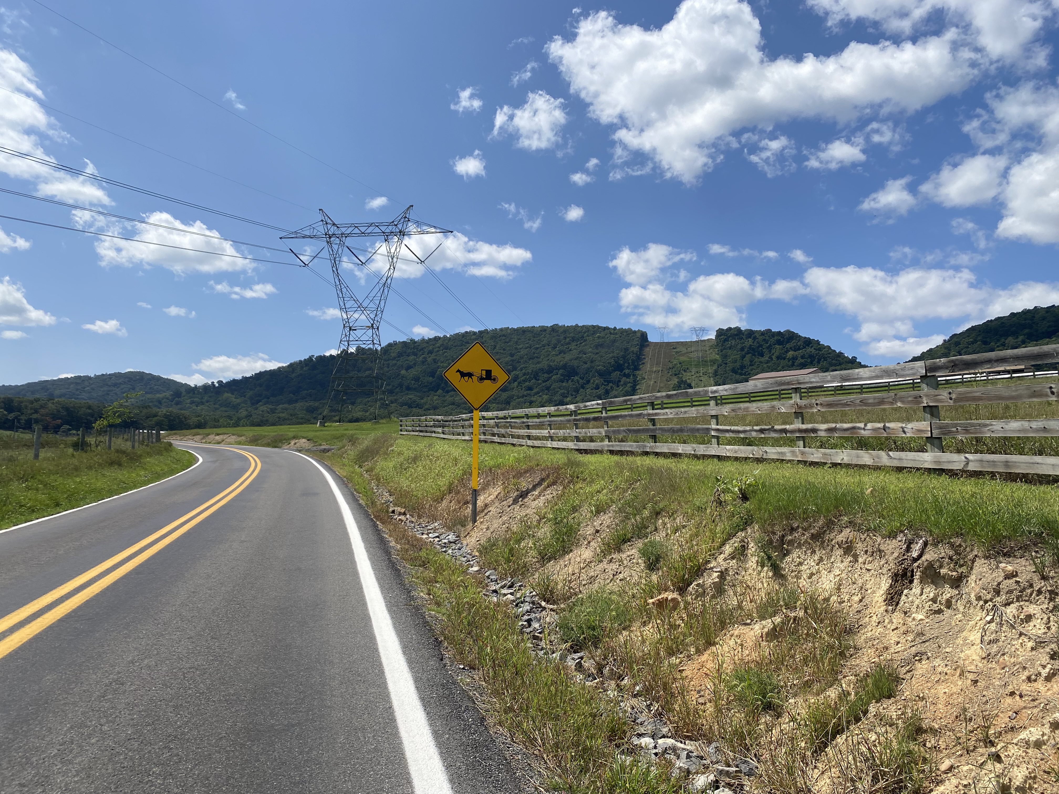
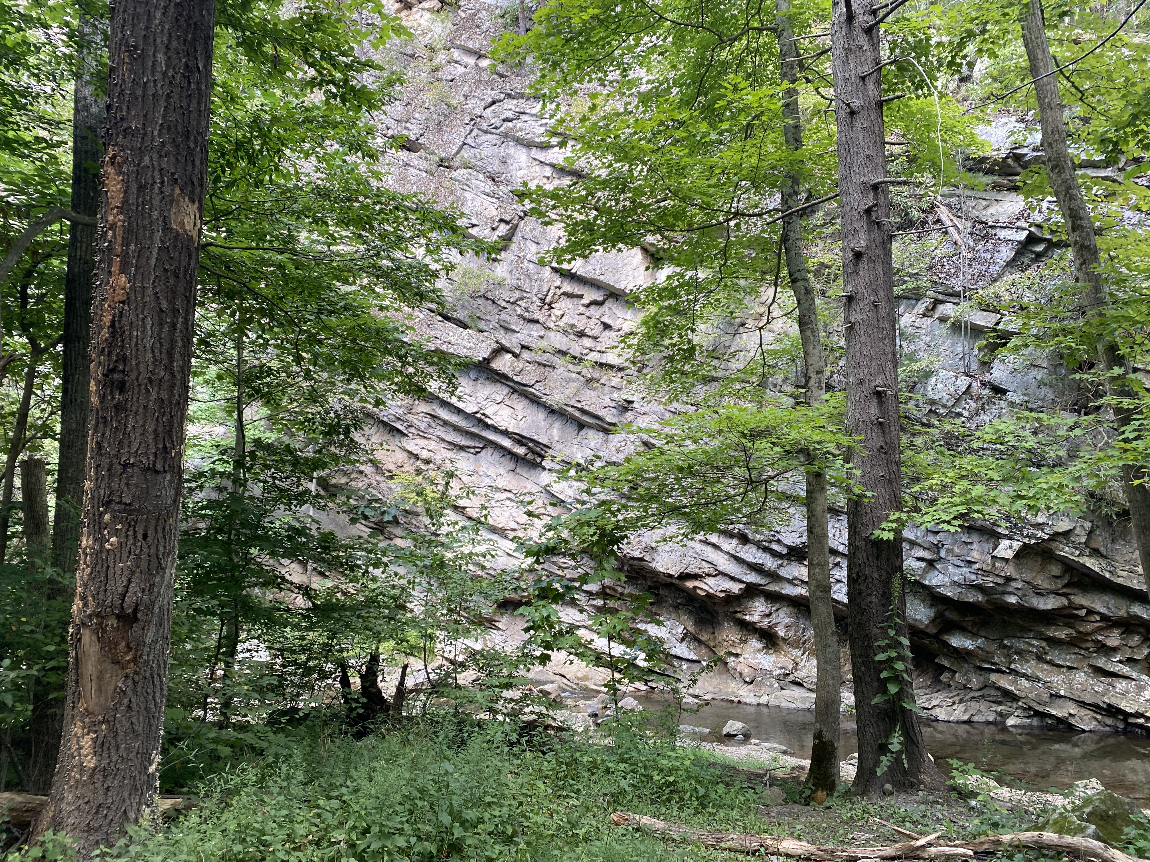
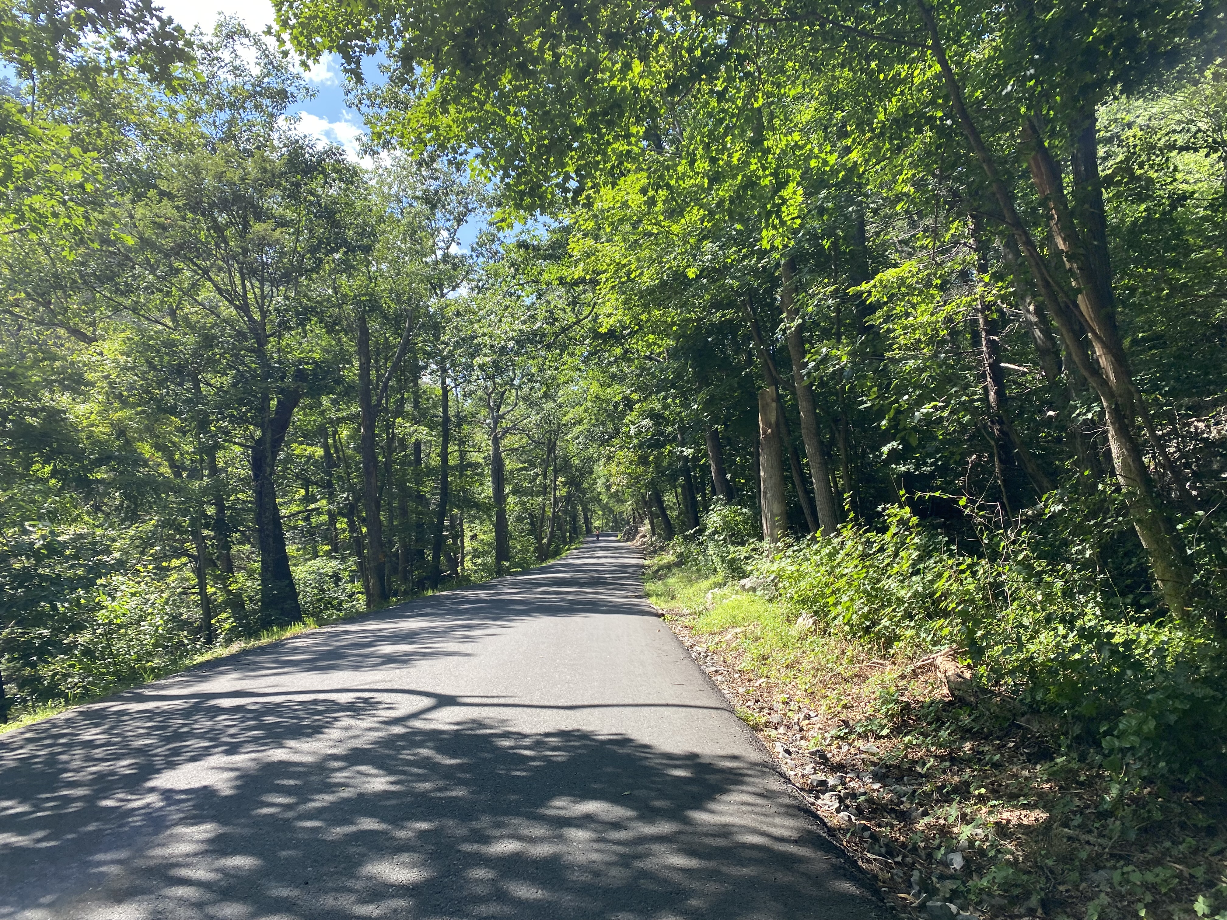
After backtracking a mile and a half on the C&O I cross into West Virginia. There are several miles on a busyish road before I reach Knobley Road, where most of today’s miles come from. This is a pretty quiet road, and if you look on a map it runs in an essentially straight line southwest with very few intersections. This is because of the area’s geography. The canal spared me from some of it, but there’s no denying that I’m in mountain country now. This area is known as the Ridge-and-Valley Appalachians, and the mountains here form long, parallel ridges. This road runs in the valley south of Knobly Mountain, and there are not very many opportunities to cross.
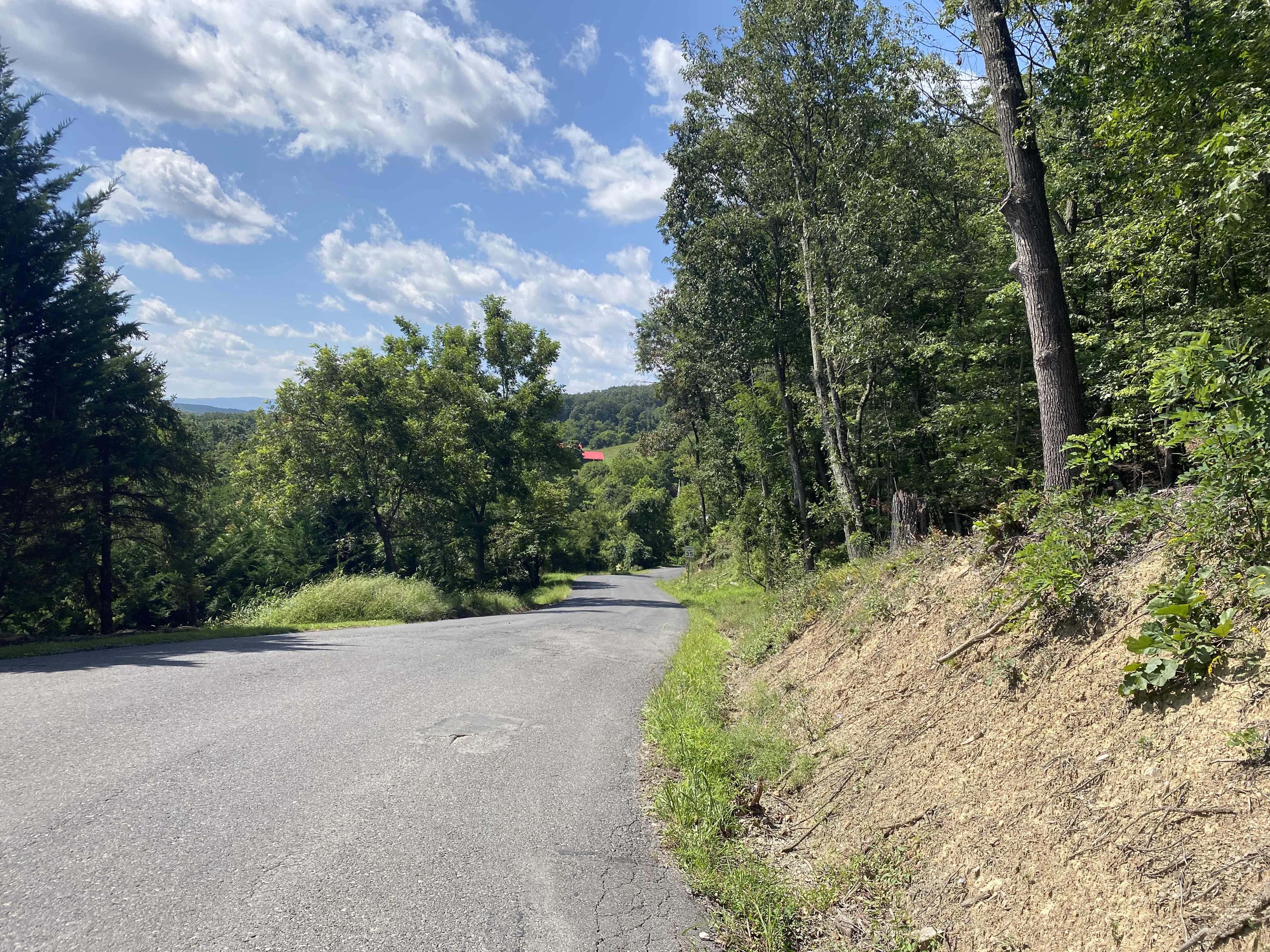
Even though the road is in the valley, there are still lots of ups and downs, so this would be a tiring day regardless. Eventually you get into the rhythm of the climbs, and attain a certain inner peace about your inability to go up them as fast as you’d like, but even by mile 20 I was ready to be done.
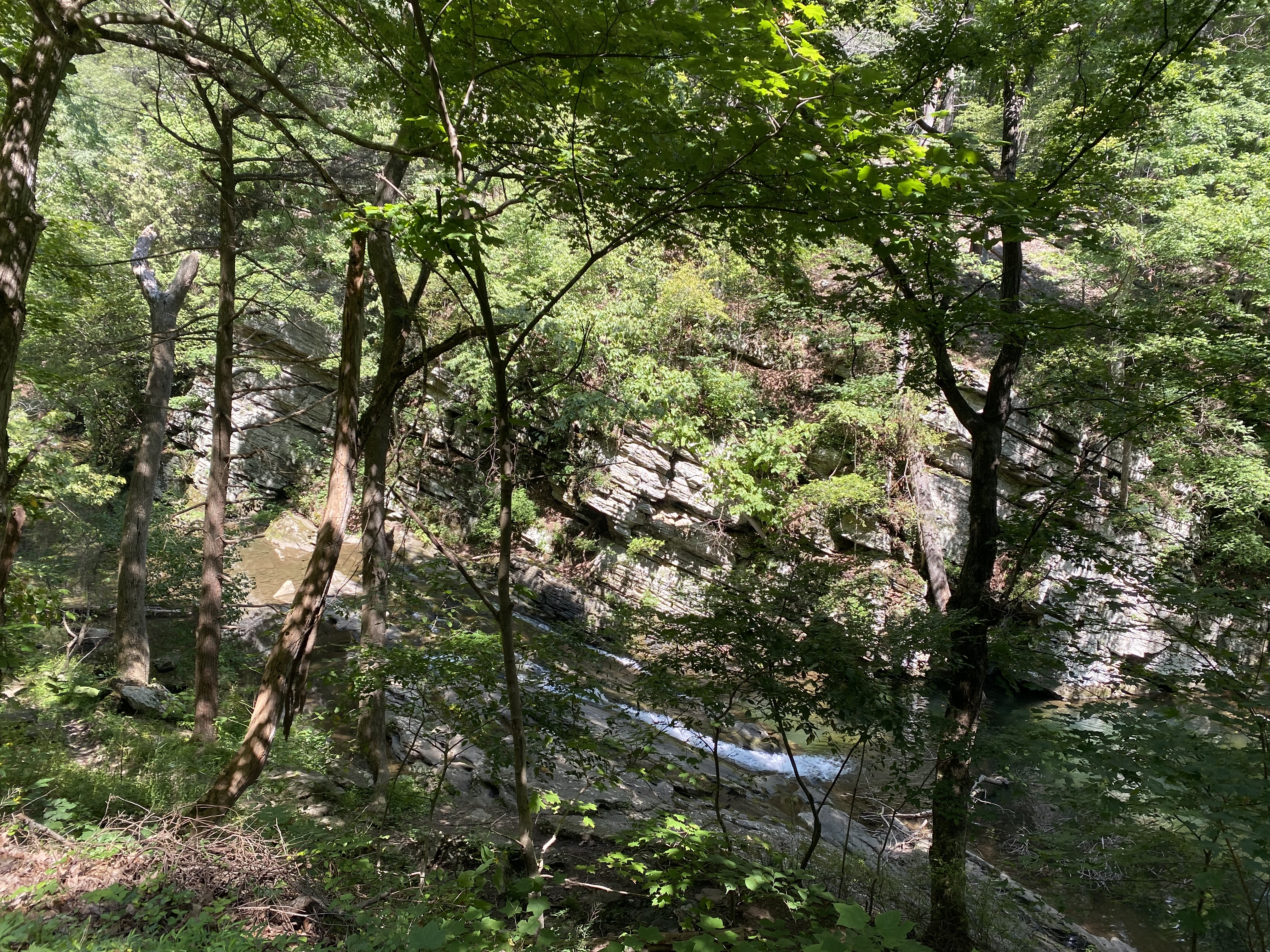
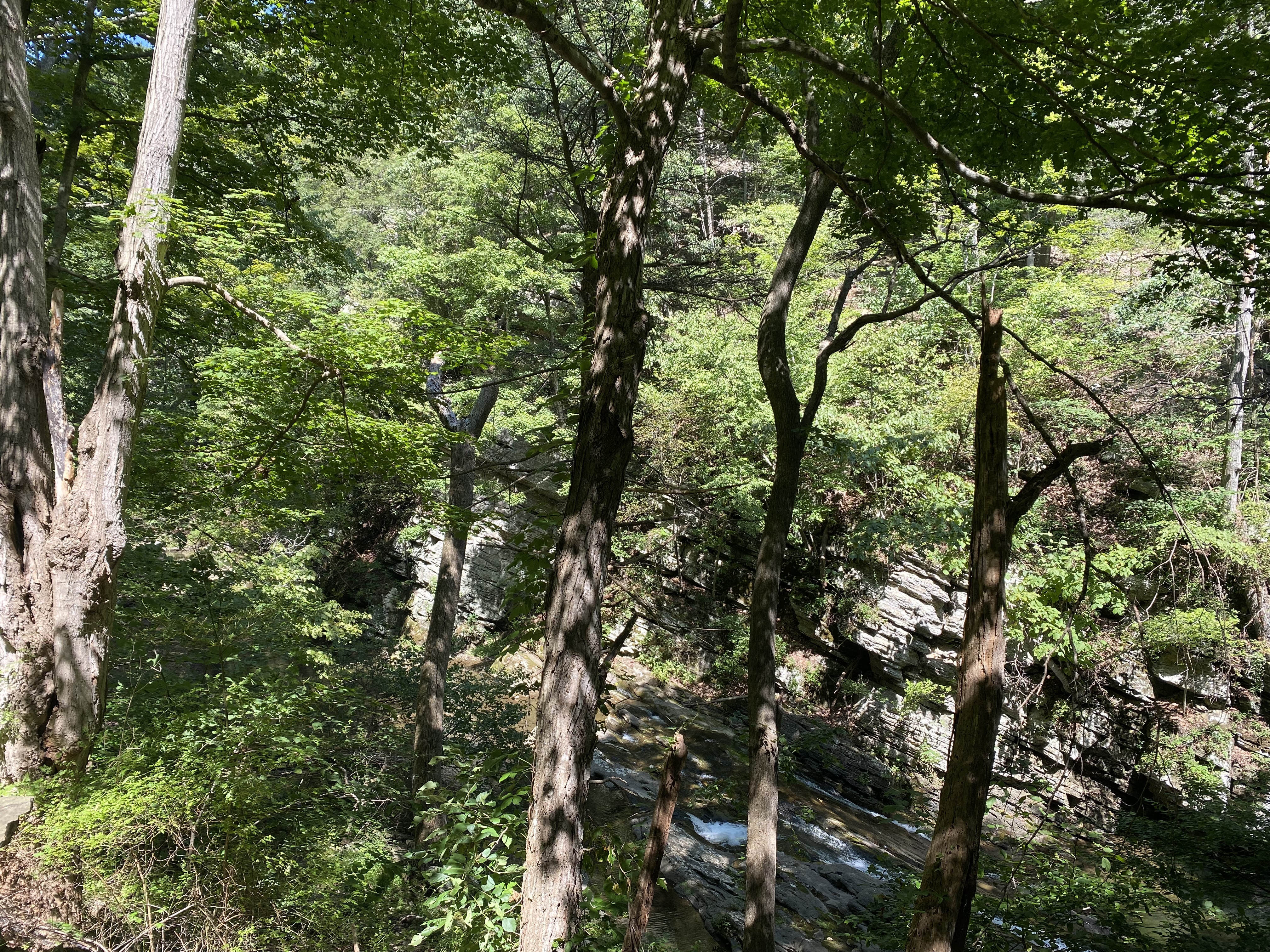
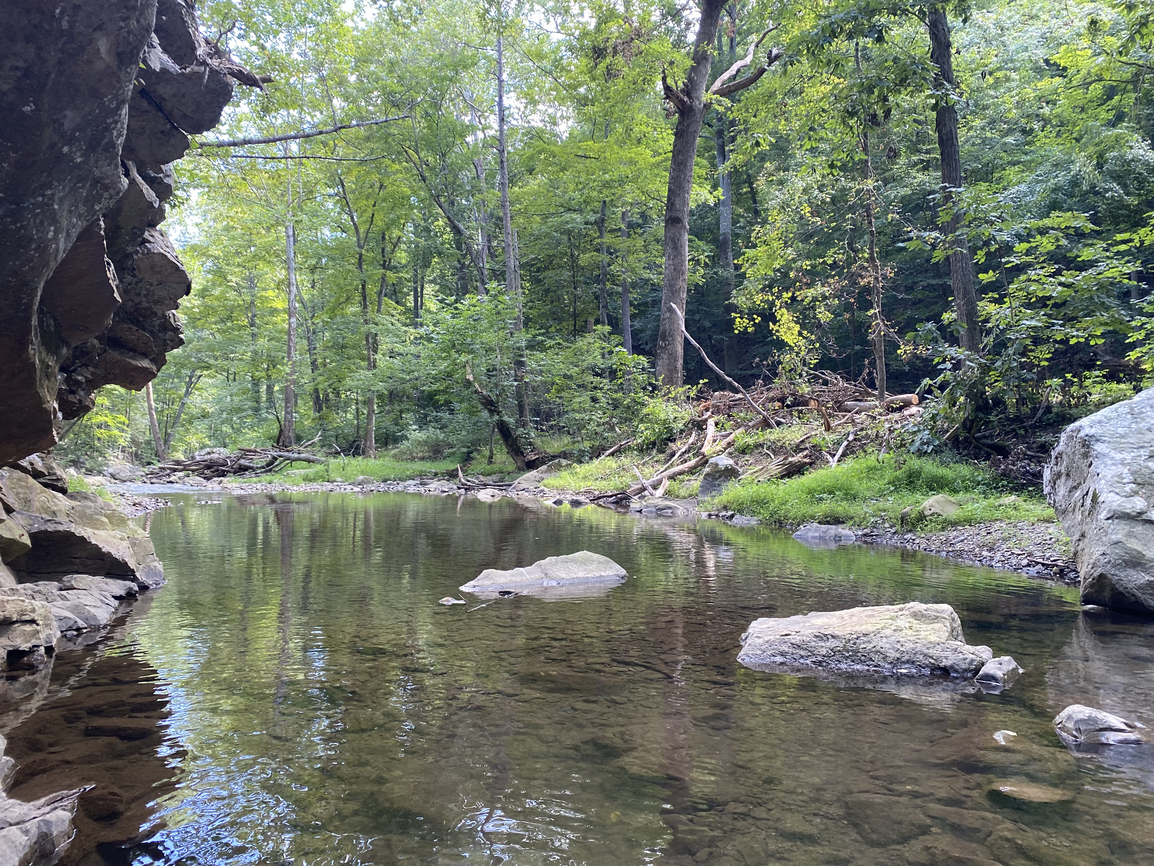
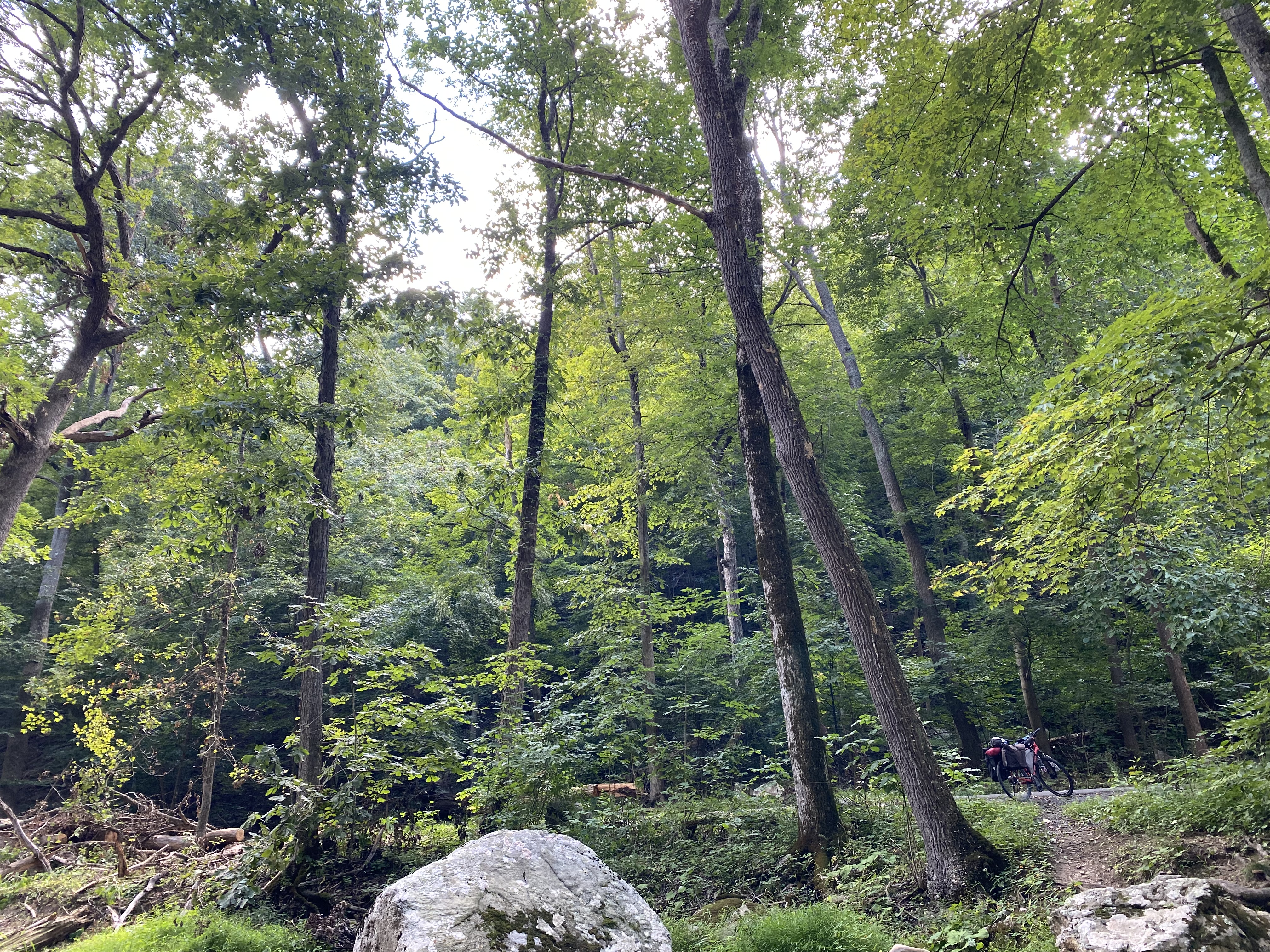
I eventually cut across at Greenland Gap, passing a lovely waterfall, and passing through a small nature reserve. I refilled my water from the stream here (potable water can be hard to come by, so filtering from a wild source like this is often my best option) and took a break to enjoy the nature.
During this break I got passed by a German man on his bike who was going to the same place as me. I never caught his name (internally I’ve been calling him Udo), but we passed each other a few times throughout the day. He seemed to be of much the same opinion as me about the climbs. We were both aiming for the same campsite but I didn’t end up seeing him there. He was ahead of me, though, so I know he at least made it up.
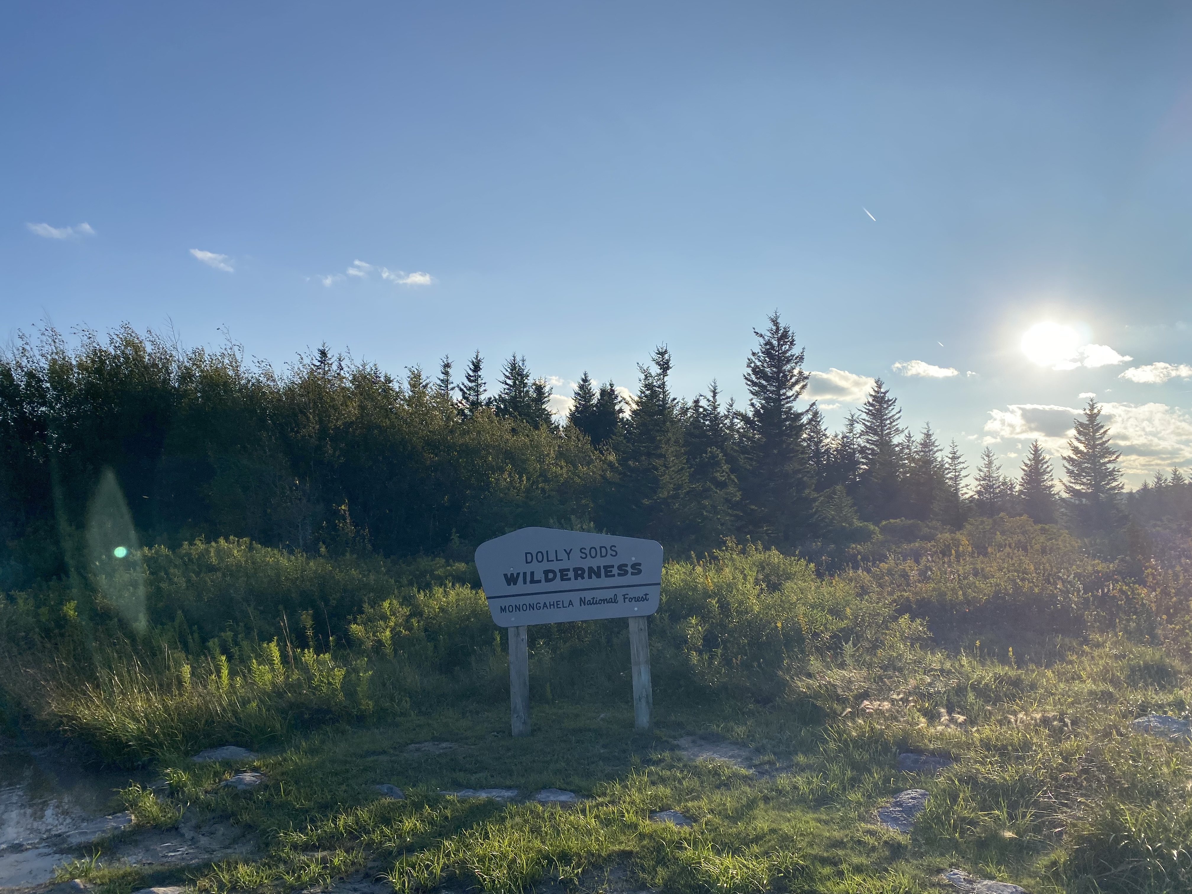
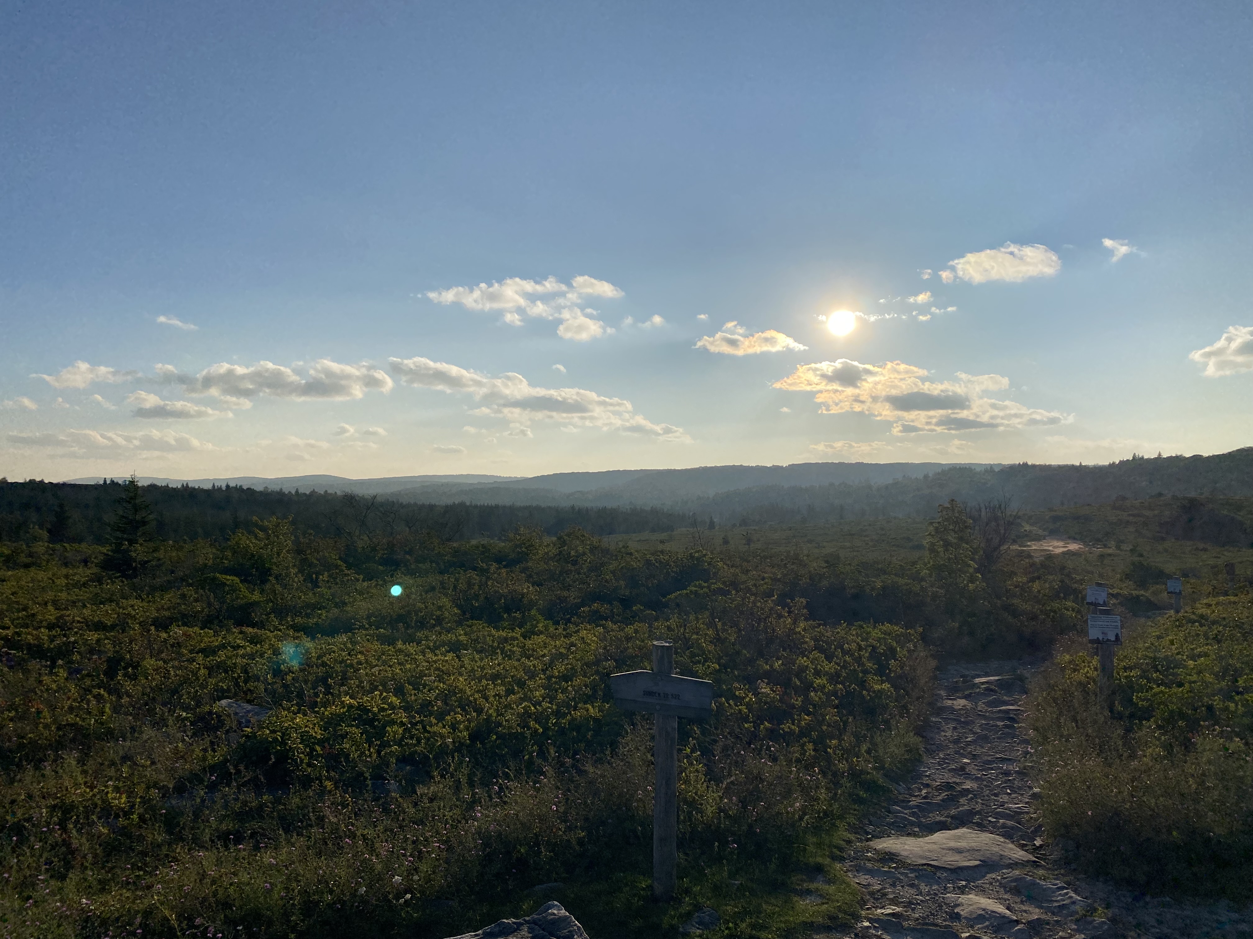
Some more country roads lead to the star of the show, so to speak. The Allegheny Front is a steep section of the mountains leading up to the Allegheny Plateau. My destination for the night, the Dolly Sods Wilderness Area, is at the top, and there was about half a vertical mile in between.
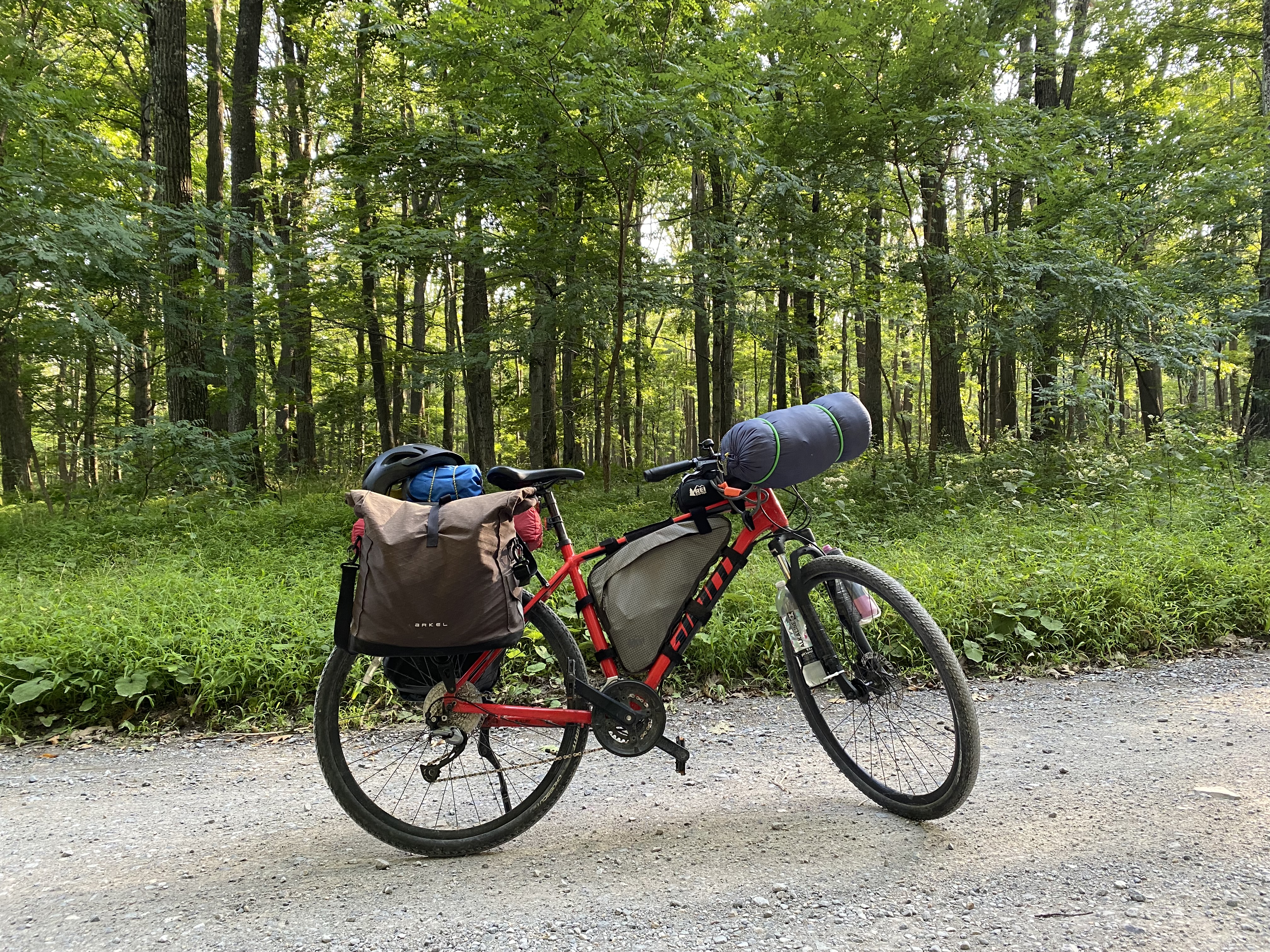
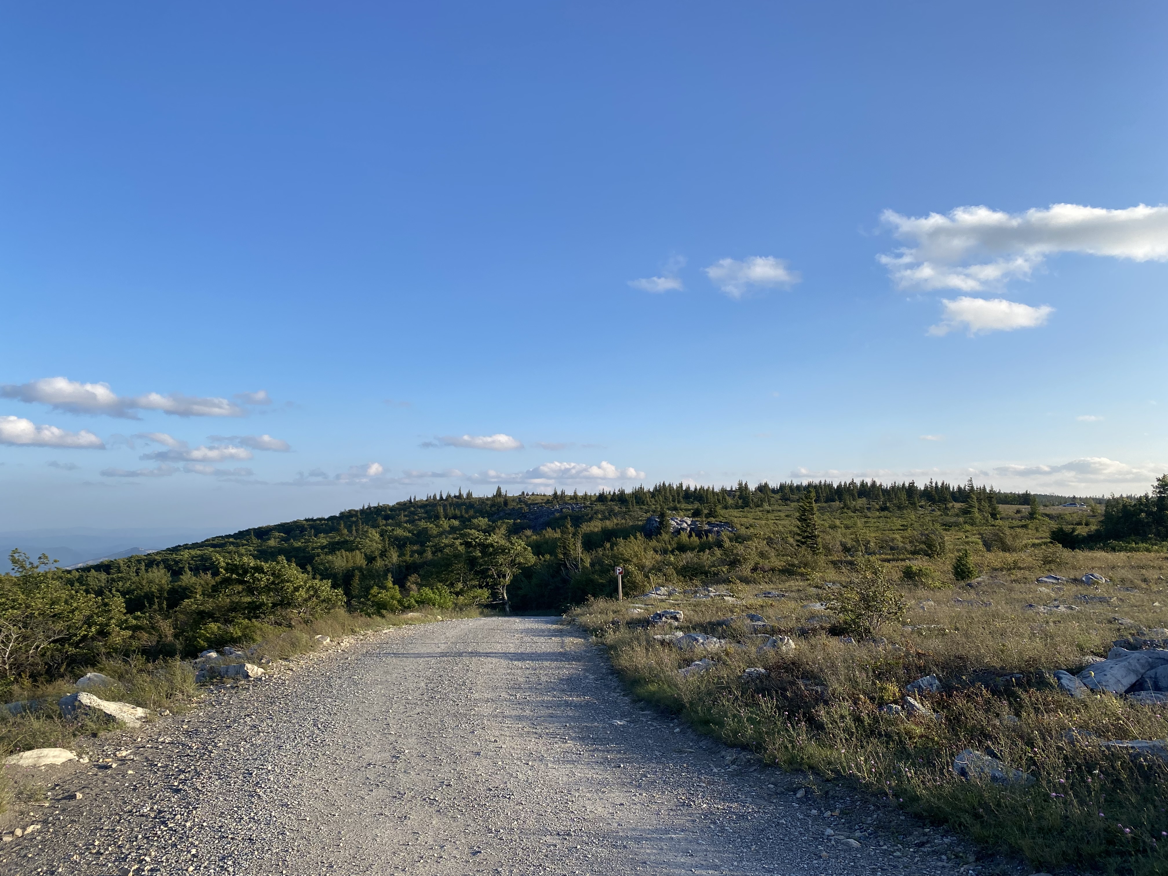
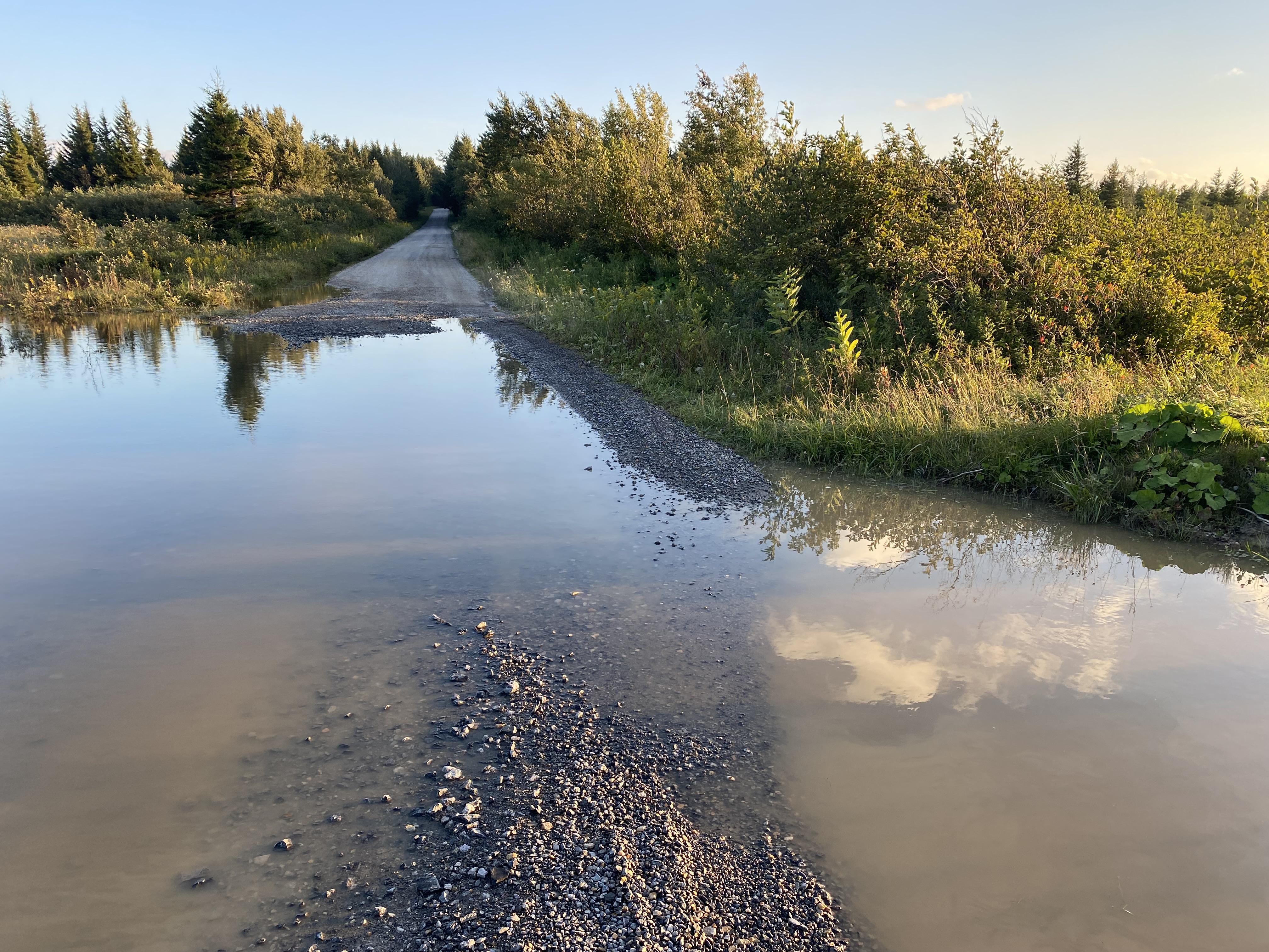
The road leading up there is steep and made of a coarse gravel that’s difficult to ride on. It’s a challenging elevation change under any circumstances, but the combination of steep grade, bad surface, and tired legs was too much. I feel no shame admitting that I pushed the bike up the vast majority of the climb. It’s slow, and I still had to take lots of breaks, but so long as I kept moving forward I knew I would reach the top, and eventually I did.
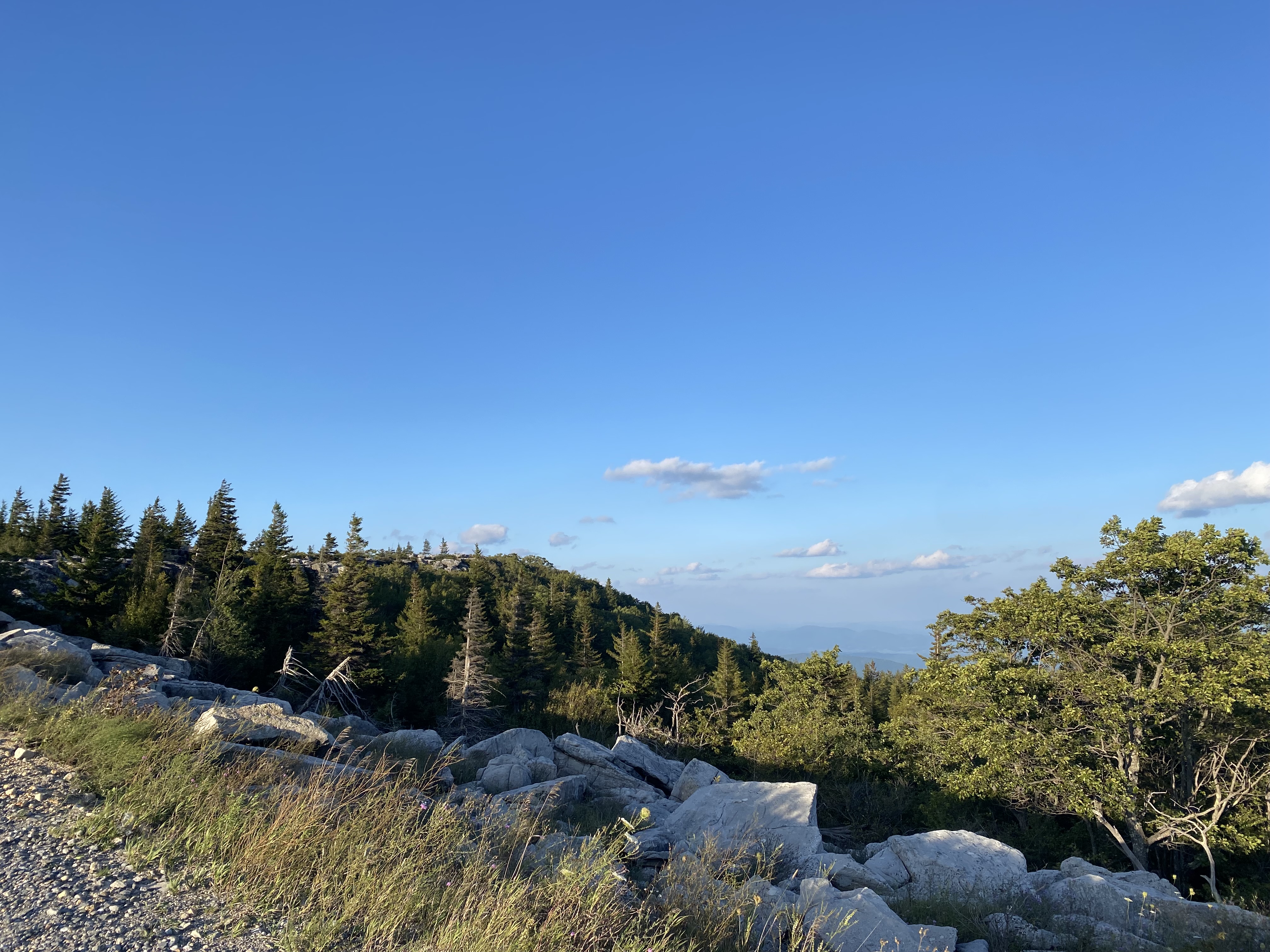
I was pretty exultant upon reaching the top. The sun had gone behind the ridge but reemerged as I got a view of the other side of the ridge. The air is noticeably thinner up here, and the wind picks up considerably.
It also marks an important geographic milestone: the Eastern Continental Divide, which the trail I’m following tries to roughly parallel. Before now, any streams or rivers I encountered drained into the Atlantic Ocean along the East Cost. Now, though, they all start draining into the Mississippi River and the Gulf of Mexico. Historically, when rivers were the main method of transportation, this was very significant indeed, and to this day it’s a hard threshold to cross for roads and railroads because of the steep slopes involved (which I can now wholeheartedly confirm!)
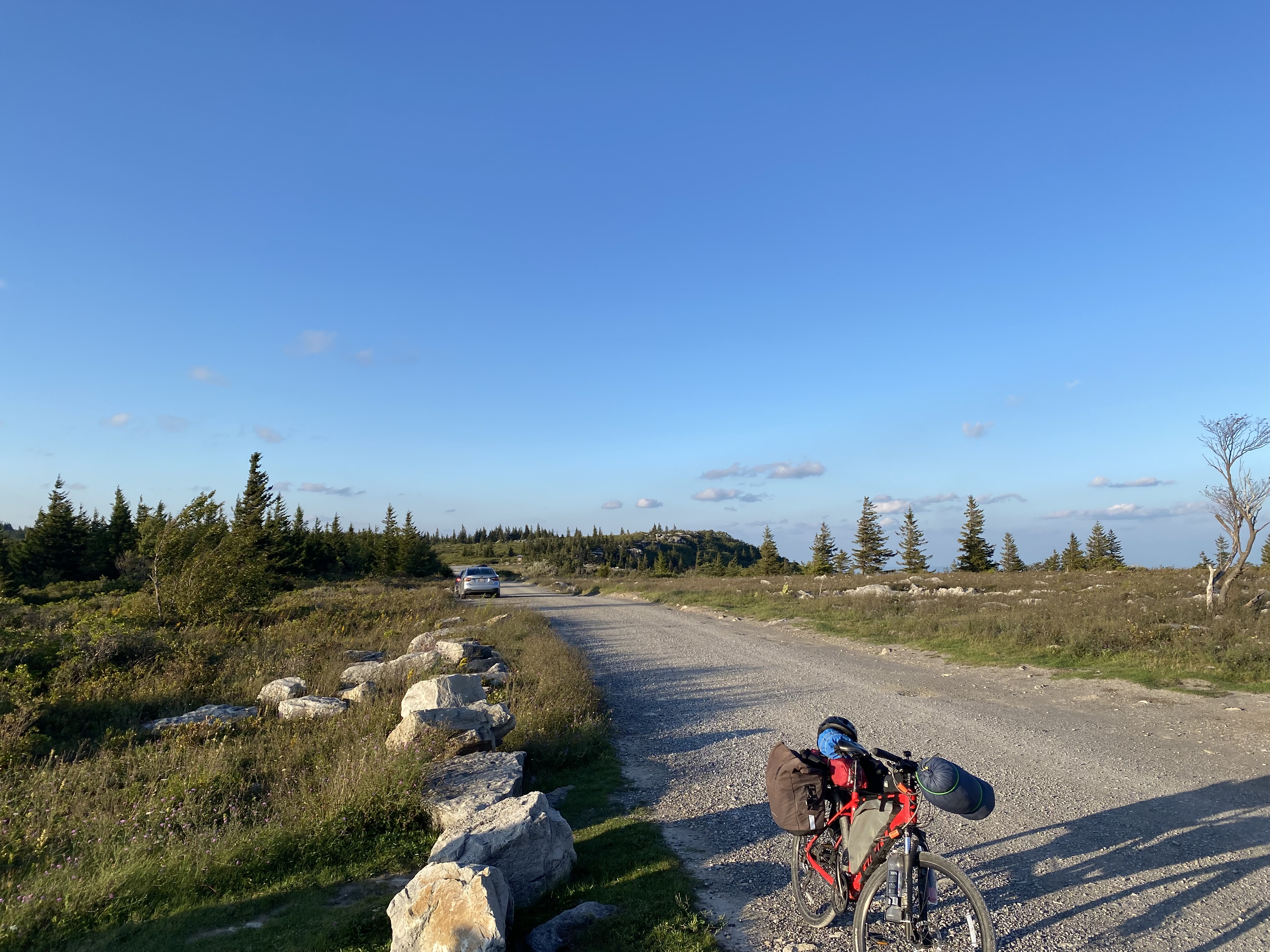
I wasn’t done yet, though. The campsite is a few miles down the road, and even though I’m at the top of a ridge it is still fairly hilly to follow that ridge, and the road is still coarse gravel. I made it to the campground and found, to my dismay, that it was full. I had a few spots marked on my map a few miles further down, so I didn’t panic too much yet, but night was coming quickly.
It is here that I first learn to distrust the makers of this map. Although marked as campsites, this map assumes a certain comfort with wild camping (i.e. pitching a tent in any old spot) that I do not possess, so it was with some distress that I found that these “campsites” were really just conveniently-sized clearings.
It was fully dark at this point, and I made the decision to turn around and return to the official campsite. I was not ready for this level of outdoorsmanship. This meant a couple more miles of riding in hilly gravel, this time fully at night, which is very spooky when you’re alone in a wilderness area.
One advantage of being on a bicycle for this sort of thing is that you don’t take up much space, and people are more willing to grant favors when they see you in trouble. The woman at the very first campsite I asked agreed to let me pitch my tent for the night. I will be forever grateful for this. There’s a lot I’ll need to pay forward after this trip. For now, though, I had a place to stay the night, and I needed a rest badly.
Route Map
Gallery